Add Unlimited Street Maps and Aerial Photos to EasyGPS
Get more out of EasyGPS with unlimited worldwide street maps and aerial photos for just $0.99/mo.
Create Your EasyGPS Mapping Account
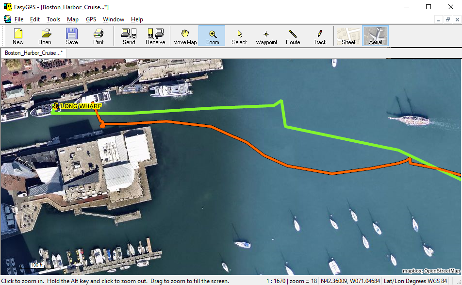
High-Resolution Aerial Imagery and Detailed Worldwide Street Maps
Get a birds-eye view with the high-resolution color orthoimagery and street maps in EasyGPS. Zoom in on any location to identify trails, plan site visits, or measure crops.
© 1998-2026 TopoGrafix – 24 Kirkland Dr, Stow, MA, USA
Get Help & Support for EasyGPS
Try ExpertGPS: Advanced Geocaching and Mapping Software with Topo Maps and Aerial Photos